PRESS RELEASE
Which California landmarks are at risk from a massive earthquake?
Millions of tourists flock to California each year to visit the Golden Gate Bridge, Hollywood Sign and other attractions, but when the next massive earthquake happens which landmarks are located in the most vulnerable sites?
When it comes to the risk of damage, Don Drysdale from the Department of Conservation and California Geological Survey highlighted the following factors:
• How close the earthquake is centered to a landmark
• How large the earthquake is
• How well-built the structure is
• What the underlying soil conditions are like
Are California landmarks located near fault lines?
Some of California’s long-standing landmarks – including the Griffith Observatory, the Hollywood Sign and the Golden Gate Bridge – are more at risk than others.
According to Drysdale, the Griffith Observatory in Los Angeles is north of the Hollywood Fault, as is the iconic Hollywood sign. The Hollywood Fault is capable of generating an earthquake with a magnitude of 7, Drysdale said.
The Hollywood Sign is also considered part of a CGS Seismic Hazard Zone because of its hillside location in an area prone to earthquake-induced landslides. The CGS Seismic Hazard Zones are areas that are especially prone to “earthquake hazards of liquefaction (failure of water-saturated soil), earthquake-induced landslides and amplified ground shaking.”
The Golden Gate Bridge in San Francisco is located seven miles west of its own major fault line – the San Andreas, which caused the massive 1906 earthquake. The deadly quake, with the epicenter two miles west of San Francisco, registered a magnitude of 7.8. The Golden Gage Bridge didn’t exist at the time of the earthquake – construction would begin 27 years later.
As for the State Capitol in Sacramento, it’s not near any known faults, as the Hayward Fault, which runs north to south along the East Bay, is the closest to California’s capital city.
Are any California stadiums at risk of an earthquake?
The 1989 Loma Prieta quake temporarily halted the World Series between the San Francisco Giants and the Oakland Athletics. The earthquake struck before Game 3 at Candlestick Park, the former home of the Giants and San Francisco 49ers.
“In the 1989 Loma Prieta Earthquake centered much closer to Santa Cruz than to San Francisco; a portion of the Bay Bridge collapsed,” Drysdale wrote in an email to Nexstar’s KTXL. “That was a magnitude 6.9 quake, certainly powerful, but not the largest expected on the San Andreas Fault.”
According to the Department of Conservation, the earthquake took the lives of 63 people, 3,757 more people were reported injured and 12,053 more were displaced. The Bay Bridge was unusable for a month; 18,306 houses were damaged and 963 were destroyed.
The 1989 World Series series resumed on Oct. 27. The original east span of the Bay Bridge that was damaged in the quake was repaired, but was replaced for seismic safety. The replacement was completed on Sept. 2, 2013, according to the Metropolitan Transportation Commission in the San Francisco Bay Area.
The Giants’ current stadium, Oracle Park, is just a few miles from where Candlestick Park once stood.
“Across the Bay, the Hayward Fault runs under Memorial Stadium in UC Berkeley, same for the Chase Center, where the Warriors play,” Drysdale said. “The Oakland Coliseum and Levi’s Stadium in Santa Clara are just west of the Hayward Fault.”
Stadiums in Southern California are also located either under or near fault lines. In Los Angeles, the Elysian Park Fault is under Dodger Stadium and the Memorial Coliseum is close to the Puente Hills Fault, Drysdale said.
The Rose Bowl is a little north of the Verdugo Fault while SoFi Stadium is west of the Newport-Inglewood Fault, according to Drysdale.
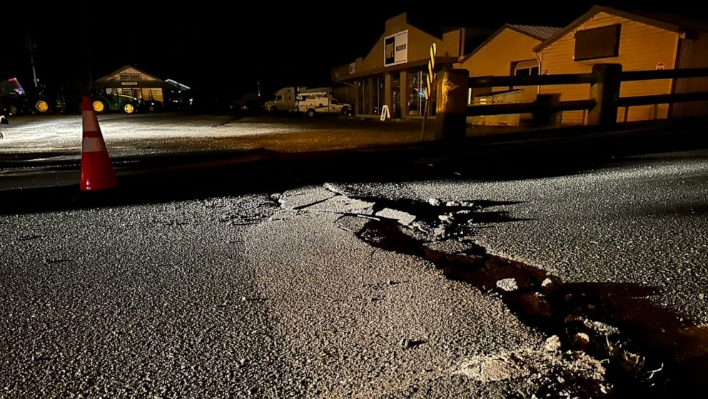
What happens if a massive quake hits California?
The San Andreas Fault poses a threat in the northern and southern portions of California. Experts say a 7.8 earthquake in Southern California could have a death toll among the worst for a natural disaster in the U.S. at 1,800, according to a 2008 projection.
About 50,000 people could be injured as the main freeways to Las Vegas and Phoenix that cross the San Andreas fault would be destroyed, according to a study from the United States Geological Survey.
In Northern California, the San Andreas fault produced the 1906 earthquake in San Francisco that killed an estimated 3,000 people and displaced 225,000 more. That earthquake is the second-largest recorded in the state at a magnitude of 7.8, according to the Department of Conservation.
“These numbers are as low as they are because of aggressive retrofitting programs that have increased the seismic resistance of buildings, highways, and lifelines, and economic resiliency,” scientists noted in 2008. “These numbers are as large as they are because much more retrofitting could still be done.”
The largest recorded in California was in Fort Tejon on Jan. 9, 1857, with a magnitude of 7.9. That earthquake also occurred on the San Andreas Fault.
The East Bay is also at risk of a large earthquake with the Hayward Fault, which is 52 miles and centered below Oakland.
According to a 2018 report from the U.S. Geological Survey, at least 800 people could be killed, and 18,000, more could be injured in a magnitude 7 earthquake along the fault. A quake of that magnitude could also cause a fire, potentially killing hundreds more people and burning the equivalent of 52,000 single-family homes.
The magnitude of an earthquake is expressed in whole numbers and decimal fractions and the sizes vary. A magnitude 5.3 earthquake is considered moderate, while 6.3 is a strong earthquake, according to the USGS.

-

 MORE2 months ago
Katie Cherkasky: A Trailblazer in Military and Civil Rights Law
-

 BUSINESS3 months ago
Decomm: Mastering The Final Stage of Tech Lifecycles
-

 MORE3 months ago
Leona Kimes: From Hillsong Pastor to Advocate for Change
-

 MORE3 months ago
Greg Kriek: South Africa’s Rising Star in Global Cinema